National Weather Service United States Department of Commerce

Wet High-elevation Snow and High Winds in the West; Severe Weather in the Central/Southern Plains

Higher elevation snow across the Great Basin and the Pacific Northwest into the northern Rockies will expand eastward into the central Rockies and will also bring quite a bit of wind. Windy and dry conditions in the Desert Southwest will cause Critical fire conditions. Severe thunderstorms and heavy rains are expected to develop across parts of the southern/central Plains on Monday. Read More >

Click a location below for detailed forecast.

Last Map Update: Mon, May 6, 2024 at 3:22:16 am PDT
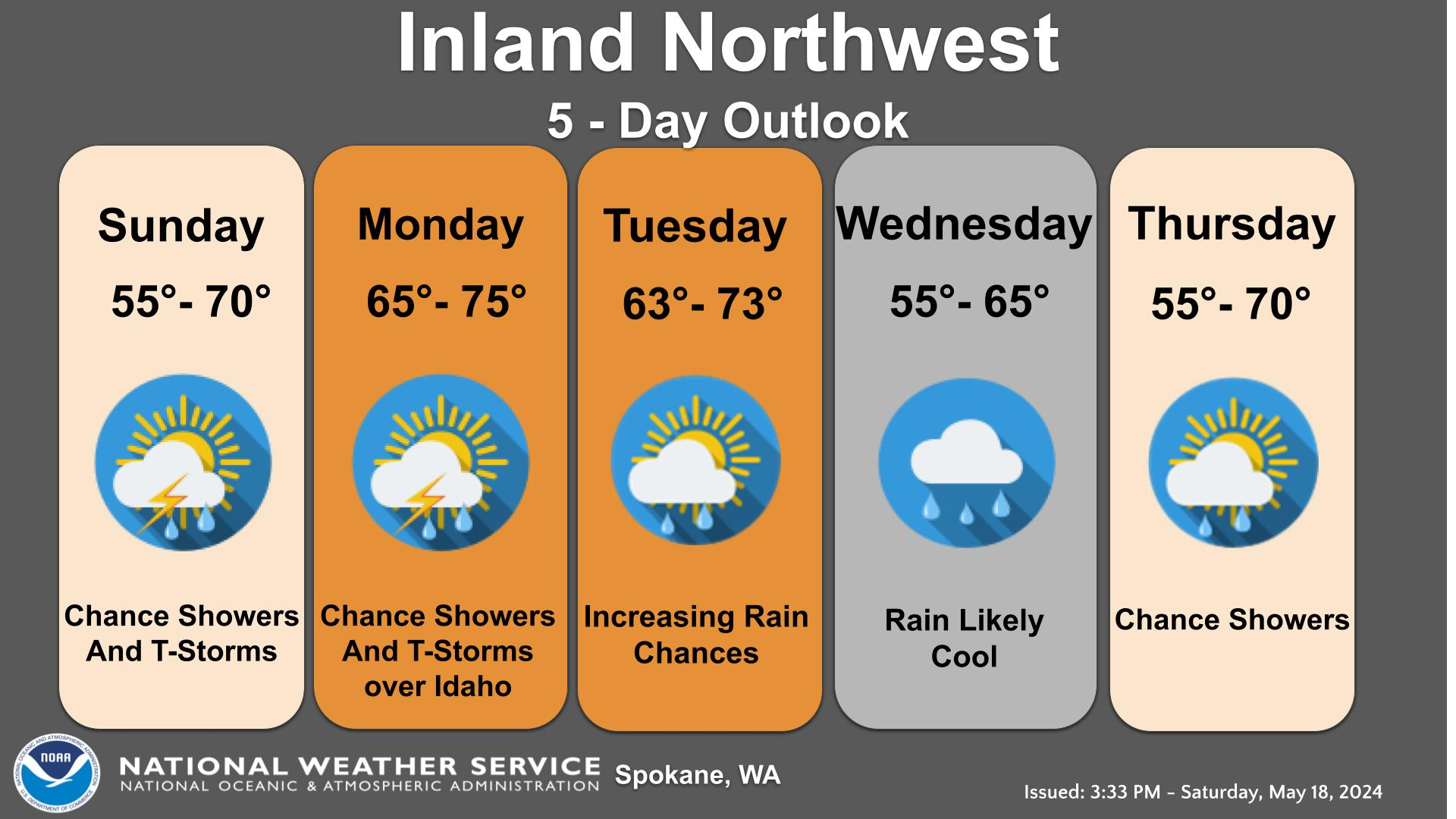
The rain this morning will give way to showery conditions across eastern WA and north Idaho this afternoon and evening. A few weak thunderstorms are possible especially across southeast WA which could bring occasional lightning, higher wind gusts, and brief downpours.
It will be cool and brisk for the start of the work week with peak wind gusts of 30 to 40 mph on Monday. Tuesday will be windy as well with similar wind gusts across central and eastern Washington as well as wind exposed areas of north Idaho.
It will be trending warmer and drier by late this work week into next weekend.

Text Product Selector (Selected product opens in current window)