
A strong Pacific storm continues to track across the Great Basin. Heavy snow is expected across the higher elevations and heavy rain across lower terrain. Strong gusty winds will make for additional hazards for travelers. These winds will bring increasing fire weather concerns for the southern High Plains. Then we will closely watch for severe thunderstorms across the central Plains on Monday. Read More >
Last Map Update: Sun, May 5, 2024 at 11:04:15 pm PDT
|
Text Product Selector (Selected product opens in current window)
|
|


 Hanford Radar
 Edwards Radar
 Recent Temperatures
 Satellite
 Weather Map
 Central Valley and Sierra Nevada Smoke Forecast
 Experimental Fog Severity Index
 Social Media
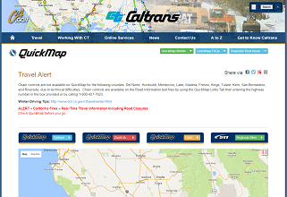 Caltrans QuickMap
 Drought