National Weather Service United States Department of Commerce

Severe Thunderstorms and Heavy Rainfall From the Southern High Plains into the Lower Mississippi Valley

Strong to severe thunderstorms capable of producing large hail, gusty winds and heavy rainfall will be possible over the next few days from New Mexico to Texas, into western Mississippi. Additional heavy rainfall over previously saturated soils may lead to flash and urban flooding. Isolated thunderstorms will also be possible across portions of the Midwest. Read More >

Click a location below for detailed forecast.

Last Map Update: Sun, May 12, 2024 at 7:16:30 am AST
TJUA Radar - Cayey, PR
High moisture levels and marginally unstable conditions, mainly triggered by diurnal heating, will promt a limited to elevated excessive hazard risk across portions of northern Puerto Rico today.
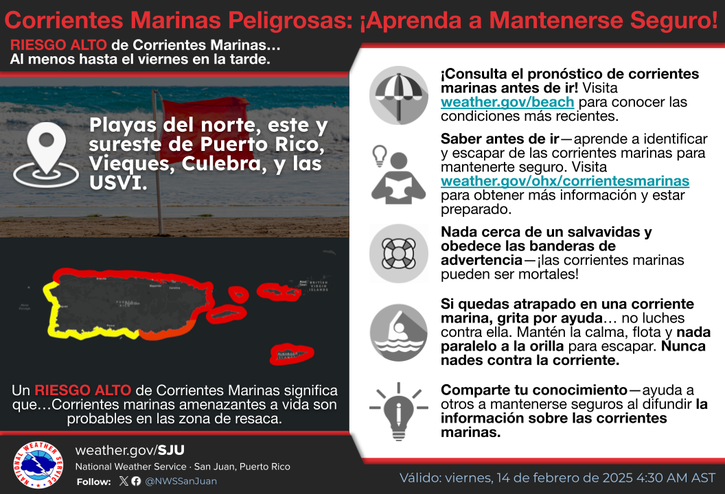
The risk of rip currents is low. However, life-threatening rip currents often occur in the vicinity of jetties and piers. El riesgo de corrientes marinas es bajo. Sin embargo, el peligro por corrientes marinas ocurre a menudo en la cercanias de malecones y muelles.