
Isolated to scattered severe thunderstorms appear possible across portions of the Southeast and Carolinas on Saturday where a Slight Risk (Level 2 of 5) has been issued. A Slight Risk Excessive Rainfall Outlook (Level 2 of 4) has been issued for part of the northern Gulf Coast Saturday due to the threat of flash, urban, and riverine flooding. Read More >
Last Map Update: Sun, May 19, 2024 at 2:14:21 am CDT

CoCoRaHS  |
Submit Storm Report  |
River Stages  |
Current Weather Observations... | |||||||||||||||||||||||||||||||||||||||||||||||||||||||||||||||||||||||||||||||||||||||||||
|


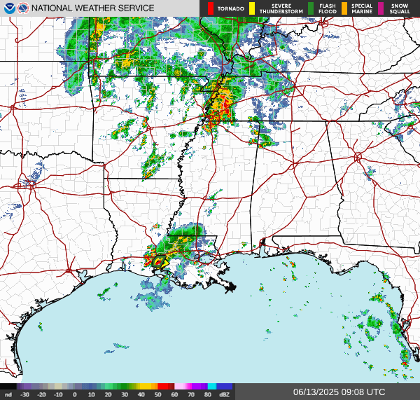 Regional Radar
 Weather Map
 Tropical Weather Outlook
 Graphical HWO
 Climate Data for Today